

Measure on the map
A file tells you how big its own areas and paths are (see the card). Measure is for everything else: how far a gate is from a corner, how long a fence line would be, how much ground lies between four stakes. You mark points on the map and read the numbers, and nothing is added to the file.
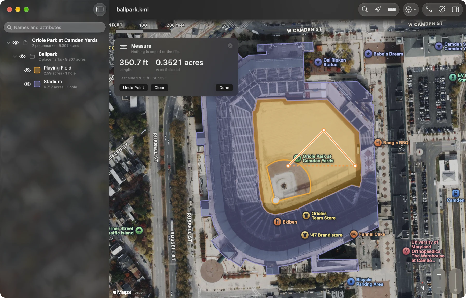
Measure a distance
Section titled “Measure a distance”- Click Measure (the ruler) in the toolbar. On the Mac it is also Map ▸ Measure (⇧⌘M).
- Click the map where the line starts, then each next point. On iPhone and iPad, tap.
- Read the Measure card: Length is the whole line, and under it the direction from the first point to
the second as a compass point and in degrees (
Heading NE 45°).
A click on a placemark or inside an area adds a point there too; nothing is selected while Measure is on.
Measure an area
Section titled “Measure an area”Keep going. From the third point the card adds Area if closed: the ground the points enclose, with the
closing side drawn dashed from the last point back to the first. The line under the numbers becomes the newest
side’s length and direction (Last side 170.5 ft · SE 139°).
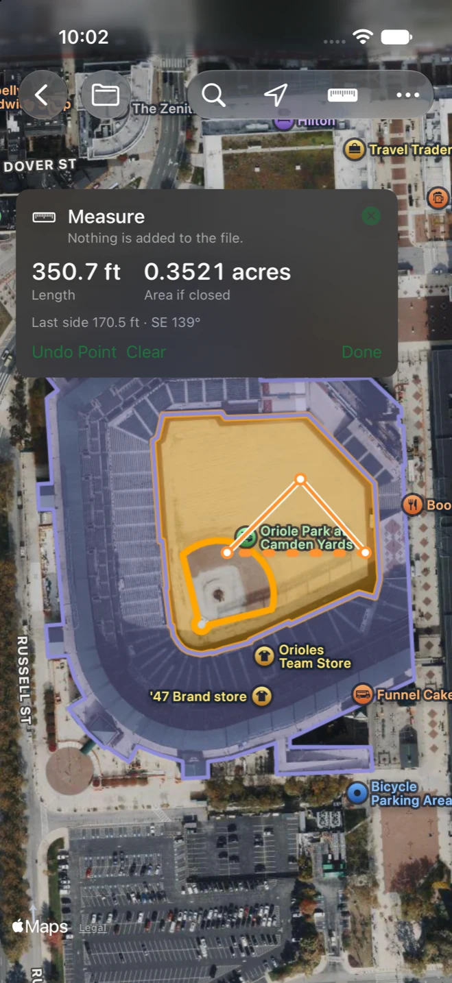
Undo, clear, finish
Section titled “Undo, clear, finish”- Undo Point takes the last point away.
- Clear starts over.
- Done (or the card’s close button, or the ruler again) turns Measure off and takes the line off the map.
Lengths and areas use your units, and are measured on the earth the same way the file’s own paths and areas are.