

Accuracy and the data
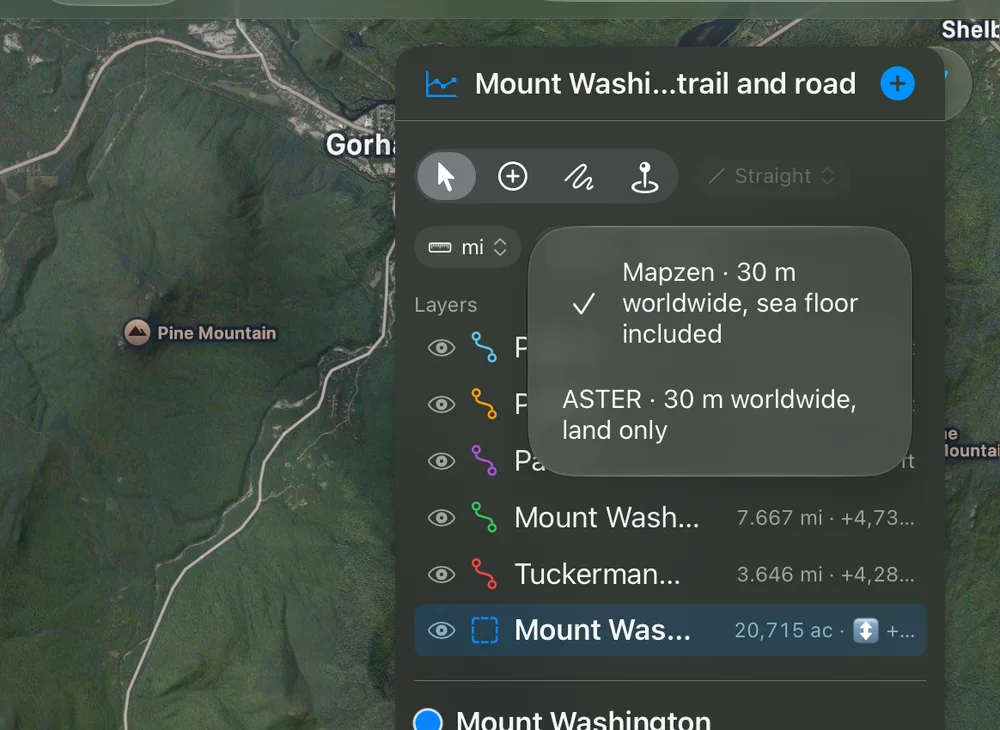
The heights come from our own elevation server at elevationapi.geosq.com: ASTER and Mapzen, global elevation models with one value every 30 meters. Mapzen includes the sea floor; ASTER covers land only. Choose the default in Settings and each document’s source in the panel.
How finely
Section titled “How finely”Profiles and areas are sampled at that spacing, so nothing between two samples is invented. These are models of the ground, not surveys: expect a few meters of difference, more on cliffs, in steep narrow valleys and among tall buildings.
Treat the slope layer as a planning aid. It shows the steepness of 30-meter cells, smoothed; a short steep step can be steeper than its cell, and it says nothing about snow. It is never an avalanche forecast.
Line of sight and the view from a point
Section titled “Line of sight and the view from a point”A line of sight and a circle’s view are worked out over the same bare ground, lowered for the Earth’s curve with standard refraction. Trees and buildings are not in the data: a forest or a row of buildings can hide what the app shows in sight. A line of sight decided by less than 5 meters either way is marked as a close call, inside the data’s margin of error. Refraction itself changes with the weather, so a far summit near the edge of sight may be visible on some days and not on others.
Routes
Section titled “Routes”Routes come from Apple Maps and may not include every trail.