Documents and files
A Geo Elevation document holds the shapes you draw, the spot heights, its own units, map style and data source, the heights of a path’s line of sight or a circle’s view, and the elevation data fetched for them.
- The format is GeoJSON with the extension .geoelevation, so other tools can read it.
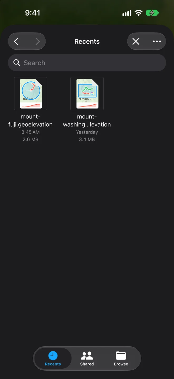
- Where they live: Files and iCloud Drive on iPhone, iPad and Vision Pro, any folder on the Mac. A trail sketched on the phone opens on the Mac.
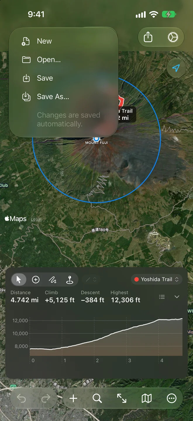
- New and Open: on the Mac, File ▸ New and File ▸ Open…, or the welcome window at launch; elsewhere, the start screen, or the document menu at the top left, with Home (back to the start screen), New, Open…, Save and Save As….
- The Places open as new documents named after them and never saved, so trying things never changes the one that comes with the app; Save asks where to keep it.
- Saving: documents save themselves. On the Mac they keep versions (File ▸ Revert To).
- Document icons in the Finder and in Files show the file’s own ground: its shapes on a shaded relief of the heights the file carries, so they need no network. A file without heights yet gets an Apple map.
- Quick Look (the space bar in the Finder, and in Files) shows the document without opening the app: its name and numbers, the ground tinted by height with every shape on it, and a path’s profile along the bottom. A file that has no heights yet says “Open in Geo Elevation to fetch the ground.” Hidden shapes are left out of both.
A GPX, KML or GeoJSON file opened in Geo Elevation becomes a new, unsaved document; the first save asks where to keep it, and the original file is left as it was.