

Geo Elevation
Geo Elevation answers two questions on a map: what is the climb along this line, and what is the ground like inside this area. It runs on iPhone, iPad, Mac and Apple Vision Pro; Geo Elevation for Mac is the same app sold on its own, and everything here applies to it.
Your first profile in a minute
Section titled “Your first profile in a minute”-
Find the place. Search for an address or a name with the magnifying glass (⌘F on the Mac), or scroll and zoom the map to it.
-
Choose Add Points at the top of the panel (on iPhone, the card at the bottom). For a hike, choose Walking beside the tools so each leg follows the trail.
-
Tap the start, each bend, and the end. The profile appears after the second point: distance, lowest and highest point, climb, descent and grade.
-
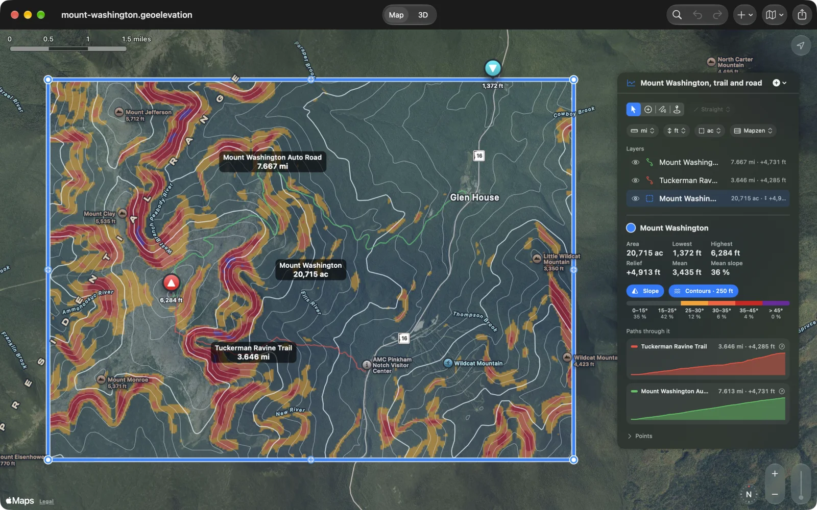
Want the ground instead? Choose New Area from the + menu and tap the corners. The panel shows the area’s lowest, highest and mean height, its relief and its mean slope; switch on Slope and Contours to see them on the map.
-
See it in 3D. Choose 3D at the top. Drag to turn, pinch or scroll to zoom.
The window
Section titled “The window”A Geo Elevation document holds the shapes you draw (paths, areas, circles and rectangles), the spot heights you place, and the elevation data fetched for them. The window has three parts:
- The map, where you draw.
- The panel (iPad, Mac, Vision Pro) or the card (iPhone), with the drawing tools at the top, the units, the list of layers, and the selected shape’s numbers and profile.
- Map | 3D at the top, which switches between the map and the selected shape’s ground in 3D.
The drawing tools at the top of the panel:
| Tool | What it does | Mac |
|---|---|---|
| Select | Select shapes and points and move them. The map never adds a point. | ⌃⌘1 |
| Add Points | Each tap or click adds a point to the selected shape, or starts a new path. | ⌃⌘2 |
| Freehand | Drag on the map to trace a line onto the selected shape. | ⌃⌘3 |
| Spot Height | Each tap or click reads the height of the ground there. | ⌃⌘4 |
Beside the tools is the way new points are joined: Straight, Walking, Cycling or Driving. It applies only with Add Points, and it is dimmed otherwise.