

The Geology ground
In the 3D view, choose Geology in the ground picker (Map, Tint, Plain, Geology). The block takes the geologic map of its ground from Macrostrat, a geologic map of the world put together from published maps: each unit in its own map’s color, glaciers and permanent snow in white, the boundaries between units and the faults drawn over them. Relief, the sun and Gloss light it as they light any ground.
A spinner shows beside the numbers under the controls while the map loads, and the credit “Geology © Macrostrat (CC BY 4.0)” stays there as long as Geology is the ground.
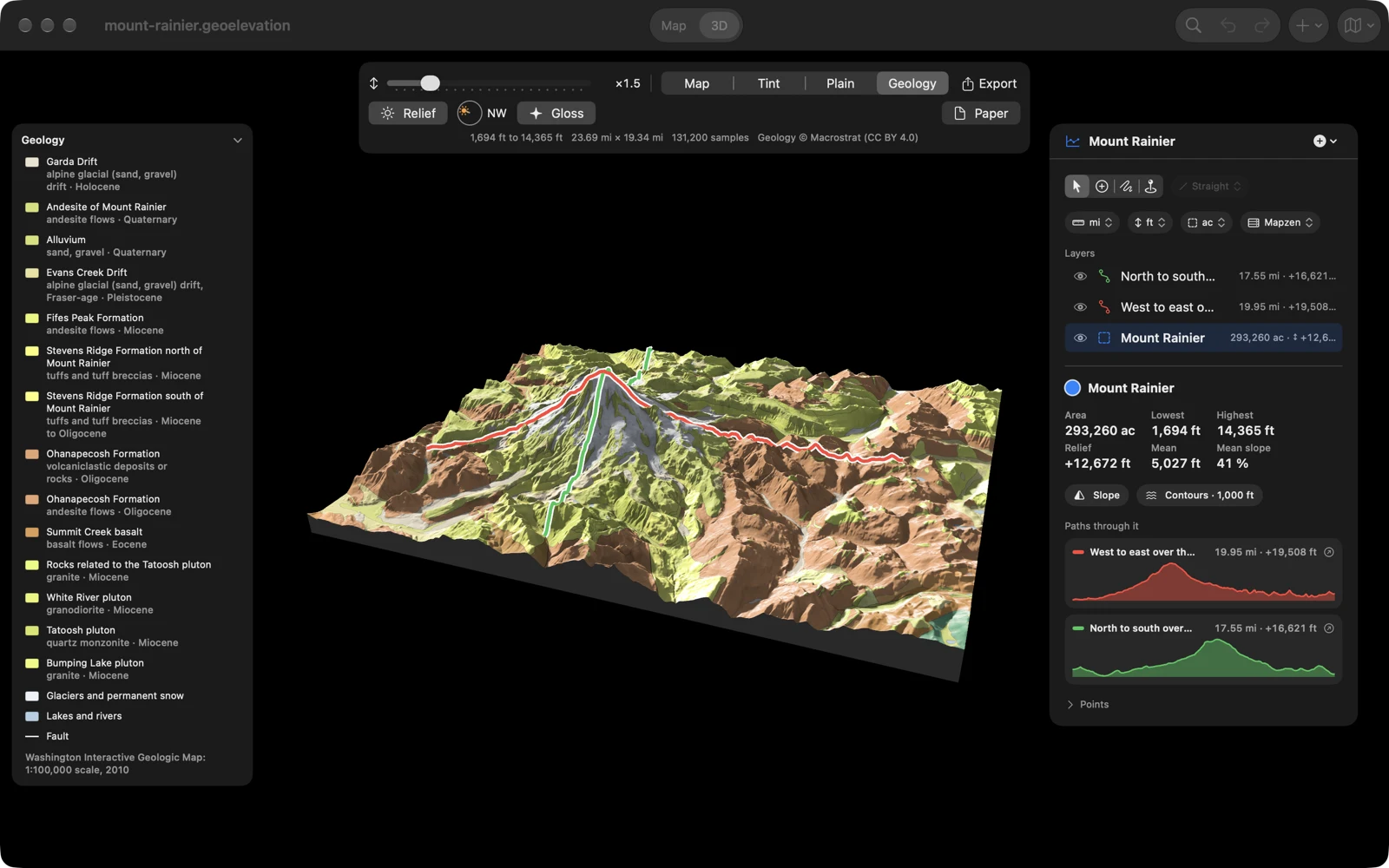
The legend
Section titled “The legend”The Geology card is the key to the colors:
- The units on the ground, up to fourteen, grouped as geologic maps group them (sedimentary and volcanic rocks, then intrusive rocks, then metamorphic rocks) and the youngest first in each group. Each has its color, its name, and its rocks and age (“andesite flows · Quaternary”).
- Glaciers and permanent snow, Not mapped (glaciers, water or ground the source map leaves blank), Lakes and rivers and Fault, when the map has them.
- The source maps at the foot, with their years.
Point at the block and the unit under the pointer is marked in the legend; a long legend scrolls to it.
Choose the title to fold the card to its name, and again to open it. On the Mac and iPad it stands at the top left, across from the panel, open at first, and you can drag it out of the way. On iPhone it sits above the card, folded at first; the 3D controls, the legend and the card open one at a time there.
Where no geologic map covers the ground, the legend says “No geologic map covers this ground.” If the map could not be loaded, it says “The geologic map could not be loaded. Choose Geology again to try again.”
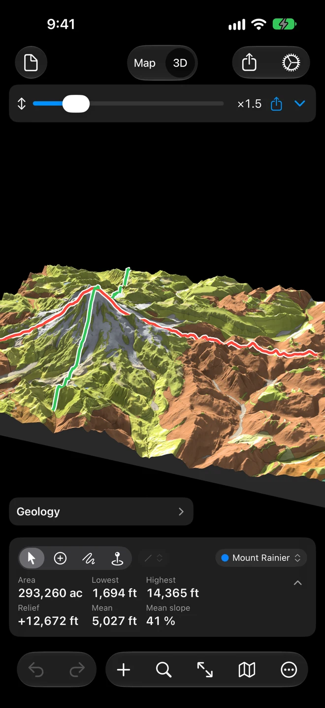
The rock under the pointer
Section titled “The rock under the pointer”Hover on the Mac, or press and hold on iPhone and iPad, and the readout beside the pointer names the rock first (“Andesite flows”), then the unit and its age, then the height and the coordinates of the nearest sample.
Slope and contours
Section titled “Slope and contours”The slope bands stay off on Geology: two codes of color on one ground would mix into mud. With Slope on, the line under the controls says “No slope bands on Geology”, and the bands come back on the other grounds. Contours stay on Geology.
In the exports
Section titled “In the exports”- Image (TIFF) and Image (PDF) show the geology as the 3D view does; the PDF’s caption carries the Macrostrat credit.
- Plate (PDF) adds the explanation: the units in their groups, each with a map symbol, its color, its rocks and its age, and the source maps in the credits.
- 3D Model (USDZ) and Blender Scene carry the geology’s colors.
The exports draw the geologic map again at full size. If it cannot be loaded, the export stops with “Couldn’t Export” rather than make a plate without the explanation of its rocks: try again when the connection is back.
On Apple Vision Pro
Section titled “On Apple Vision Pro”In the object’s volume, the legend stands under the controls at the block’s side. Pinch the ground and the label at the pin names the rock there, and its entry in the legend is marked.

Where it comes from
Section titled “Where it comes from”The geologic map is Macrostrat’s (macrostrat.org, CC BY 4.0), made from many source maps at their own scales: the units, their names and their boundaries are the source maps’. The colors show the rocks at the surface. The unit names come as the maps give them, in English. The map is fetched for the block’s ground when you choose Geology, so it needs a connection; see Privacy.