

Accuracy
The numbers from a recording
Section titled “The numbers from a recording”GPX Explore works only from what the file holds; nothing is invented. Distance is measured from point to point. Moving time, pace, maximum speed, gain and loss follow the rules on Stats: stops are left out, single jumps are ignored, and climbs under 1.5 m count as noise. A watch that logs a point a second and a receiver that logs one a minute give the same route slightly different distances and climbs, and both differ from what the service that recorded them shows, because every app filters noise its own way.
GPS elevation is often off by tens of metres; a barometric altimeter is better but drifts with the weather. Gain and loss are only as good as the elevation in the file.
Elevation for drawn points
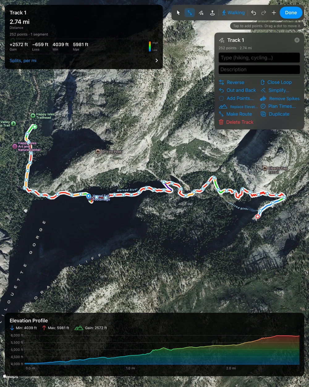
Section titled “Elevation for drawn points”Points you draw, trace or add, and Replace Elevation, get their height from our own elevation server at elevationapi.geosq.com: the Mapzen terrain model, worldwide, one value every 30 metres (the same data Geo Elevation uses). This is a model of the ground, not a survey: expect a few metres of difference, more on cliffs, in steep narrow valleys and among tall buildings, and it knows nothing of bridges and tunnels.
Routes, edits and times
Section titled “Routes, edits and times”- Routes come from Apple Maps directions and may not include every trail. Where Maps has no route, the leg is drawn straight and the app says so.
- Simplify and Remove Spikes judge points by geometry and speed; check what they removed on the map, and undo if they took too much.
- Planned times assume a steady pace on the flat, adjusted for grade with Tobler’s hiking function. They are a plan, not a forecast for your legs, the weather or the trail.