

Draw a path
A path is a line, and it answers with an elevation profile.
Add points
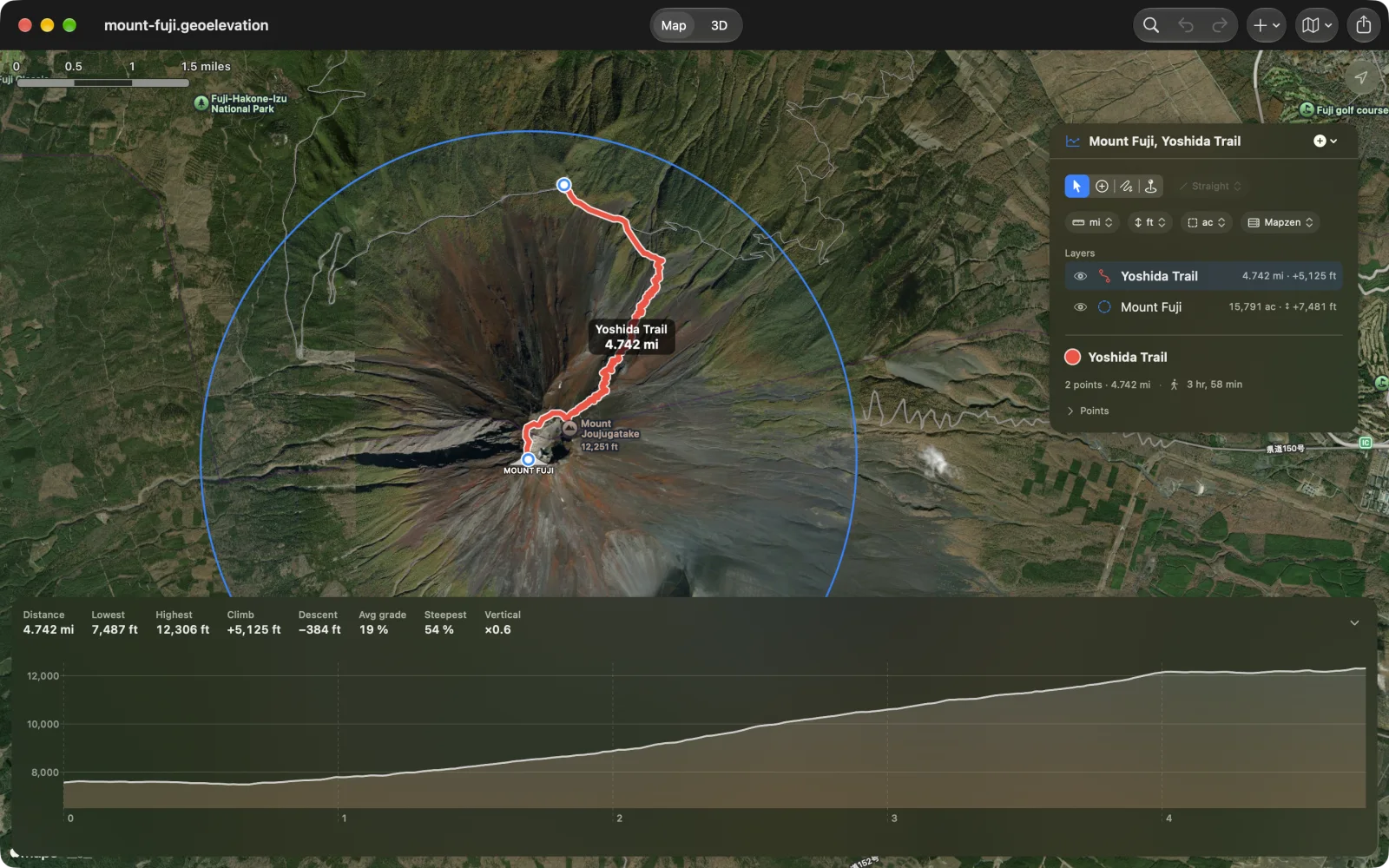
Section titled “Add points”Choose Add Points and tap or click the map at the start, at each bend or junction, and at the end. The profile appears after the second point and redraws itself a second after every change.
With nothing selected, the first tap starts a new path. New Path in the + menu (⌥⌘N on the Mac) starts another path in the same document.
To have each leg follow the trail or the road, choose Walking, Cycling or Driving beside the tools first; see Follow trails and roads.
Freehand
Section titled “Freehand”Choose Freehand and drag on the map with a finger, Apple Pencil or the mouse. The trace is added to the selected shape.
Change a path
Section titled “Change a path”- Move a point: drag its pin. On iPhone a loupe shows exactly where it lands.
- Add a point in the middle: drag the small dot in the middle of an edge.
- Delete a point: select it and choose Delete Point (⌫ on the Mac; in the More menu elsewhere), or use the pin’s callout.
- Reverse the direction: Shape ▸ Reverse Path on the Mac, or Reverse Path in the shape’s menu in the panel. The profile then reads the other way.
- Undo: every step can be undone and redone with the arrows in the toolbar, on the Mac with ⌘Z and ⇧⌘Z.
Exact points
Section titled “Exact points”Add Point at Coordinates… in the + menu (⇧⌘A on the Mac) takes a coordinate typed or pasted in decimal degrees or in degrees, minutes and seconds. Add My Location (⌘L) adds the point where you stand. See Points and spot heights.