

The numbers
The selected shape’s number is the large figure in the panel or card. Its unit is a menu: tap or click it to change the unit.
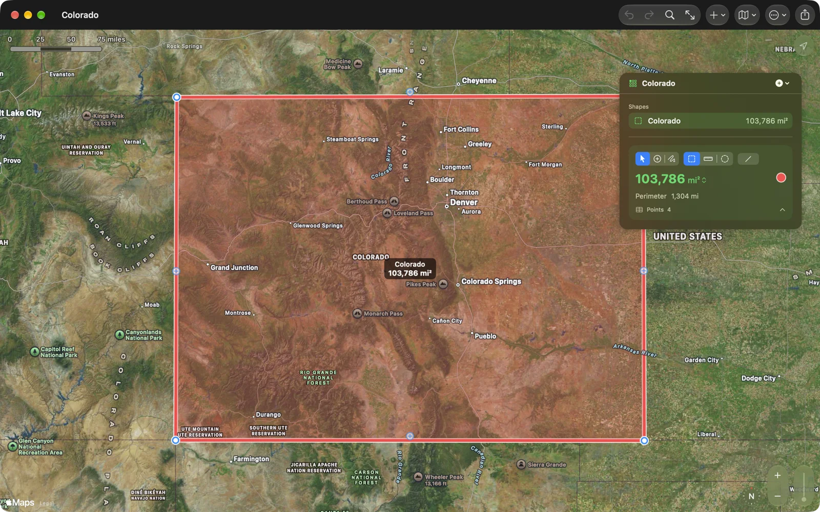
- Area: the area, and its Perimeter.
- Distance: the length, and the number of Segments.
- Circle: the area, with Radius, Diameter and Circumference.
A shape with routed legs adds Travel time. With more than one shape, Totals add up All areas (areas and circles) and All distances; on iPhone they show on the card when nothing is selected.
Significant figures. Four by default, three to six in Settings › Numbers › Precision. Small values get the decimals they need (0.2614 mi); large ones show every whole digit.
How they are computed. Distances follow the WGS84 ellipsoid with Vincenty’s formulae, as surveying software does. Areas are the spherical excess on the WGS84 authalic sphere (the sphere with the earth’s surface area) after converting each latitude to its authalic latitude, which matches the ellipsoidal area within 0.01 % for anything up to a country. Circles are measured as circles on the earth’s surface, not on a flat map.