

The map and the tracks list
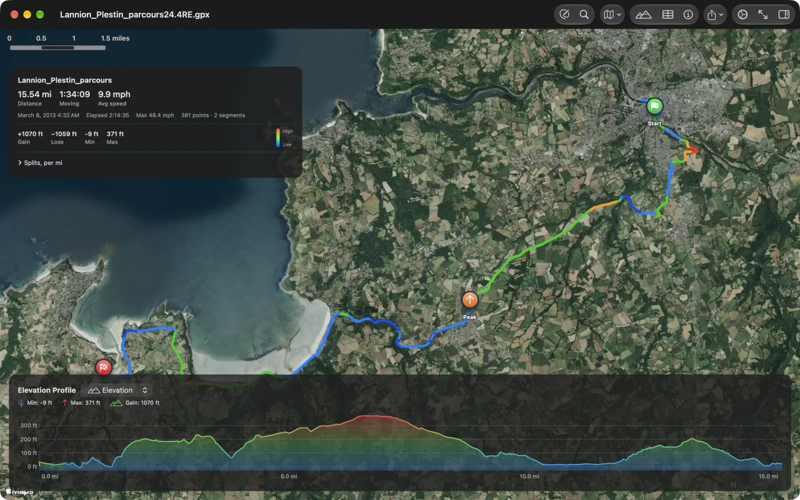
The track is drawn over Apple Maps, coloured so you can read the climb without the chart. Green flags mark the start, red flags the end, and orange and blue markers the high and low points along the way (Peak and Valley); click or tap one for its elevation.
Colour by grade or by elevation
Section titled “Colour by grade or by elevation”Choose the colouring in Settings under Visualization Mode:
- Effort (the default) colours each stretch by its grade. Going up: green under 3 %, orange to 8 %, red above. Going down: light blue, blue, then purple on the steepest descents. A legend on the route card runs from high to low.
- Gradient colours by elevation from the track’s lowest point to its highest: deep blue, cyan, green, yellow, orange, red. It is the better view of a long traverse.
Track Line Width in Settings makes the line thinner or thicker (2 to 10).
Map styles
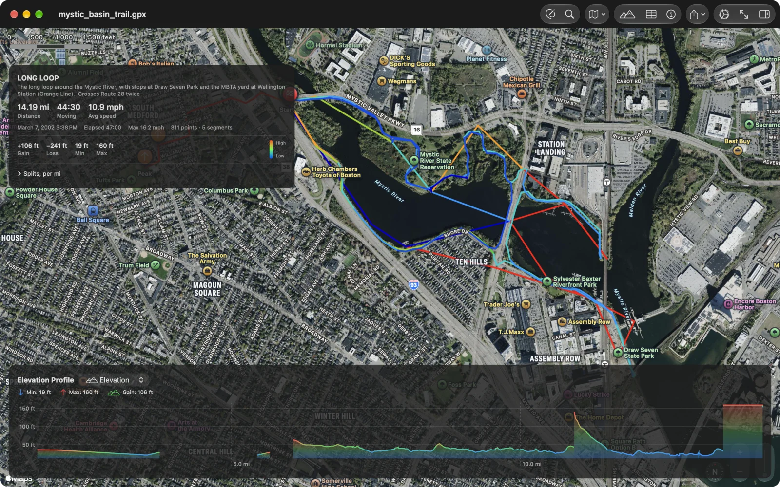
Section titled “Map styles”The Map Style menu in the toolbar has Standard (⌘1), Satellite (⌘2) and Hybrid (⌘3). Settings keeps the choice for the next file. Fit to View (⌘0) zooms to the visible tracks.
Find a place
Section titled “Find a place”Find a Place (the magnifying glass, ⌘F) searches Apple Maps for an address or a place and moves the map there with a pin. On the Mac, Track ▸ Go to Coordinates… (⇧⌘L) takes a latitude and longitude, decimal (40.7826, -73.9656) or in degrees, minutes and seconds, and either just shows it or, with Pro, adds a waypoint or a track point there.
To show where you are, turn on Show My Location in Settings.
The tracks list
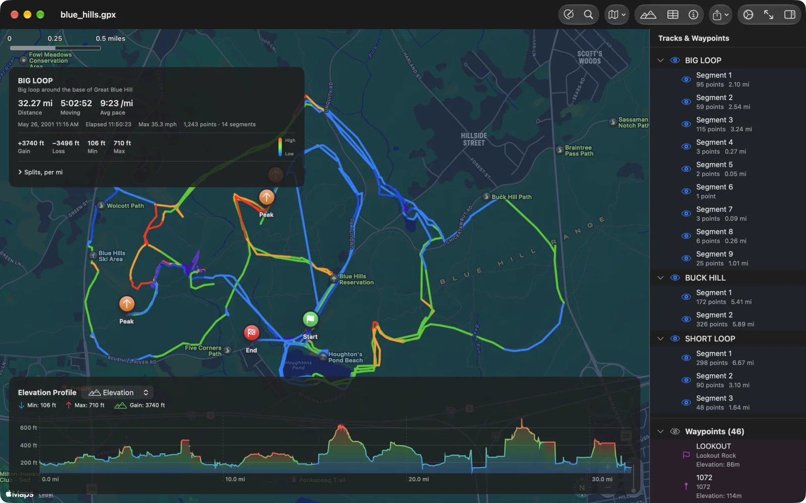
Section titled “The tracks list”Tracks (the sidebar button at the right of the toolbar) opens Tracks & Waypoints: every track with its segments, each with its point count and length, and the file’s waypoints. On iPhone it opens as a sheet.
- Click a track’s name to select it and fit the map to it.
- Click the eye beside a track or a segment to hide it; the card, the chart and the splits then count only what is shown. The eye beside Waypoints hides them all.
- Click a waypoint to centre the map on it.
- Right-click (long-press on iPhone and iPad) a track for Rename…, Edit Track, Reverse, Duplicate, Merge Segments, Join With, Make Route or Make Track, and Delete Track; a segment for Delete Segment; a waypoint for Copy Coordinates and Delete Waypoint. The editing items need Pro.
Showing and hiding the panels
Section titled “Showing and hiding the panels”Route Info (⌘I) shows or hides the route card and Elevation (⌘E) the chart. Settings decides whether each appears when a file opens. While you edit, the markers give way to the track’s points.