

Points and spot heights
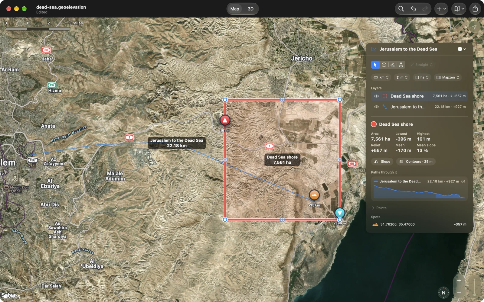
Spot heights
Section titled “Spot heights”Choose the Spot Height tool (⌃⌘4 on the Mac) and tap or click anywhere for the height of the ground there. Spots stay on the map with their heights, are listed under Spots in the panel, and export with the document. Delete a spot by selecting it and choosing Delete Spot (⌘⌫ on the Mac). Spot Height at My Location in the + menu (⇧⌘L) adds one where you are.
Every point of a path
Section titled “Every point of a path”Every point of the selected path is listed under Points in the panel: its coordinates, in decimal degrees or in degrees, minutes and seconds (the DD | DMS switch), its height, and the length and bearing of the leg to the next point. Choose a row and the map goes there.
Exact points
Section titled “Exact points”- Add Point at Coordinates… in the + menu (⇧⌘A on the Mac) takes a coordinate typed or pasted in either form.
- Add My Location (⌘L) adds the point where you stand.