

On the Mac
GPX Explore runs on macOS 14.6 and later; the welcome window needs macOS 15 and Quick Look previews macOS 15.4. Each document is a window that saves itself. The first window fills the screen; after that, GPX Explore remembers the size and place you gave it.
The toolbar
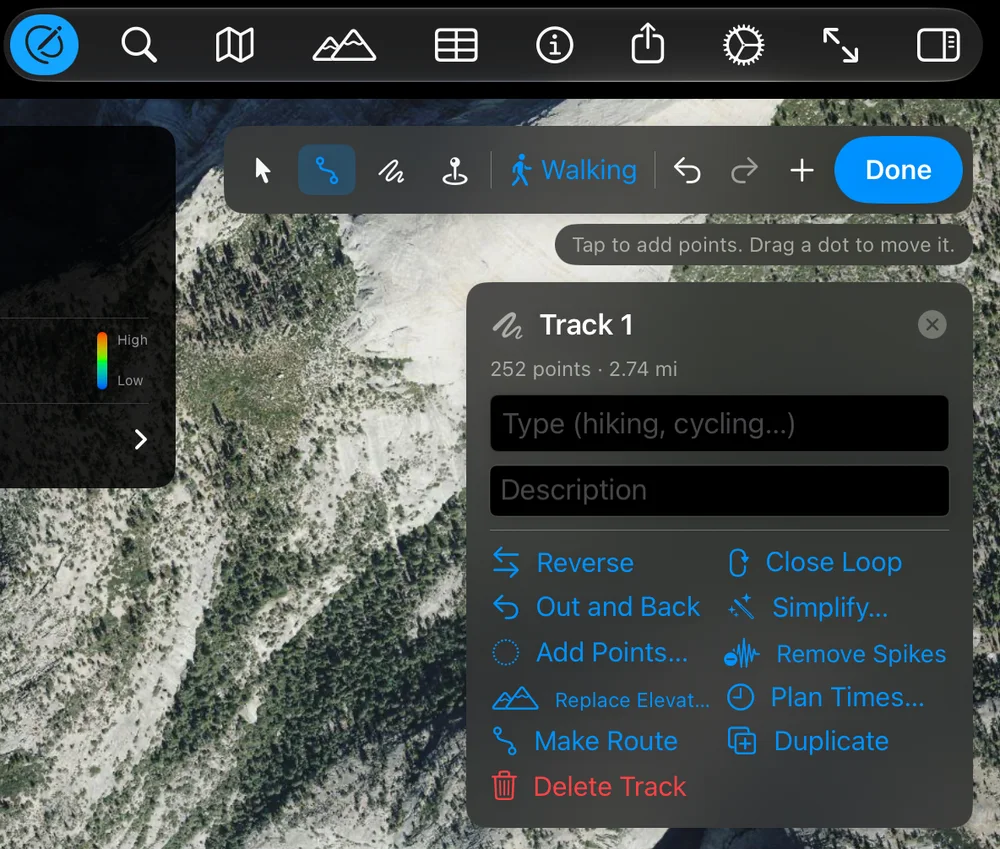
Section titled “The toolbar”From left to right: Edit, Find a Place, Map Style, Elevation (the chart), Points, Route Info (the card), Share, Settings, Fit to View and Tracks (the tracks list). While editing, the edit bar and the selection’s panel sit at the top right of the map, and the Points table opens under the map in a split you can resize.
The mouse on the map
Section titled “The mouse on the map”- Click with the Draw tool adds a point; ⌥-drag traces freehand.
- Drag a dot to move it; drag the + between two dots to add one.
- Shift-click a second dot to select the range between.
- Right-click for Delete Point, the splits, Select Range to Here, Add Waypoint Here, Start New Track Here and Copy Coordinates.
- Double-click zooms without adding a point.
The cursor changes to say what a click will do.
Keyboard shortcuts
Section titled “Keyboard shortcuts”| Command | Shortcut |
|---|---|
| File ▸ New | ⌘N |
| File ▸ Open… | ⌘O |
| File ▸ Open from Files App | ⇧⌘O |
| Edit ▸ Undo / Redo | ⌘Z / ⇧⌘Z |
| Edit ▸ Delete Selection | ⌘⌫ |
| Edit (toolbar), Track ▸ Edit Mode | ⌥⌘E |
| Done (leave edit mode) | ⌘↩ |
| Track ▸ Tool ▸ Select and Move / Draw / Freehand / Waypoint | ⌃⌘1 – ⌃⌘4 |
| Track ▸ New Track | ⌥⌘N |
| Track ▸ New Segment in Track | ⌥⇧⌘N |
| Track ▸ Go to Coordinates… | ⇧⌘L |
| Track ▸ Add from File… | ⇧⌘I |
| Find a Place | ⌘F |
| Map Style ▸ Standard / Satellite / Hybrid | ⌘1 / ⌘2 / ⌘3 |
| Elevation (show or hide the chart) | ⌘E |
| Points (show or hide the table) | ⌥⌘P |
| Route Info (show or hide the card) | ⌘I |
| Share ▸ Export Map Image… | ⇧⌘E |
| Settings | ⌘, |
| Fit to View | ⌘0 |
| Window ▸ Welcome to GPX Explore | ⇧⌘1 |
On the map while editing:
| Key | What it does |
|---|---|
| Delete | Deletes the selected range, point or waypoint |
| Esc | Clears the selected point or range, then the track |
| Return | Finishes the track being drawn; the next click starts another |
In the Points table, ↑ and ↓ move through the rows, and in a cell being edited they keep what you typed and move a row.
The Track menu
Section titled “The Track menu”Everything the editor does, for the front window’s selected track: Edit Mode, Tool, Draw Lines (Straight Lines, Follow Paths (Walking), Follow Roads (Cycling), Follow Roads (Driving)), Look Up Elevation for New Points, New Track, New Segment in Track; with a range or a point selected, Crop to Selected Range, Split Segment at Point and Split into New Track at Point; then Reverse Track, Close Loop, Out and Back, Simplify Track…, Add Points…, Remove Spikes, Look Up Elevation for Track, Plan Times…, Shift Times…, Remove Times, Merge Segments, Convert to Route (or Convert to Track), Duplicate Track, Delete Track; and Go to Coordinates…, Add from File… and File Info…. See Track tools.
Drawing and editing need GPX Explore Pro.