

Import and export
Import
Section titled “Import”Import… (⇧⌘I on the Mac; Import GPX, KML or GeoJSON… in the + menu elsewhere) reads GPX tracks, routes and waypoints, KML, GeoJSON, and files from the older Geo Elevation for Mac (.elevation). Lines become paths, polygons become areas and GPX waypoints become spots; the heights are then fetched for them. Dropping a file on the map imports it too. Importing is free.
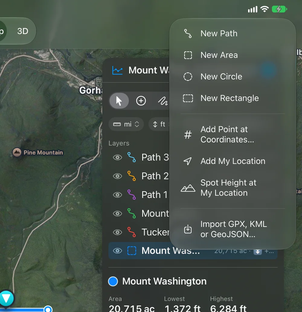
Opening such a file directly, rather than importing it, opens it as a new, unsaved document, so the original is never written over.
Export
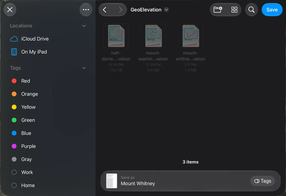
Section titled “Export”One Export menu, the same everywhere: File ▸ Export on the Mac, More ▸ Export on iPhone, iPad and Apple Vision Pro, and Export in the 3D view. It has three sections.
3D View, the block as you have set it up in the 3D view (from the map, the 3D view opens first):
- Image (TIFF)…: the block as it is turned, drawn again at full size, 6,000 pixels wide on the Mac and 4,000 elsewhere.
- Image (PDF)…: the same picture on a page, with a caption: the document’s name, the vertical exaggeration, where the sun stands, the Geology credit when it applies.
- Plate (PDF)…: a printed relief plate with its explanation and sections, previewed first; see The plate.
- 3D Model (USDZ)…: the block with its walls, half a meter on its longer side, the ground, light and layers on it and the paths painted on. It opens in Quick Look on the Mac, in AR on a table on iPhone and iPad, and as an object on Apple Vision Pro; anyone can receive it in Messages. With Paper on, its walls are pale.
- Blender Scene…: a folder for Blender 3.4 or later: the heights (heights.f32), the colors without light (color.png), the scene’s numbers (scene.json), a script (scene.py) and a README.txt that says how to render it, from Terminal or from Blender’s Scripting ▸ Open ▸ scene.py ▸ Run Script.
- 3D Print (STL)… (⌥⌘P on the Mac): opens the Print in 3D sheet; see Print on paper and in 3D.
Map and Profile:
- Map Image (PNG)…: the map with the shapes, fitted to the document.
- Report (PDF)…: the printable page with the choices you used last, as in Print….
Data:
- GeoJSON…: the shapes with their heights.
- GPX…: paths with an elevation on every point.
- CSV…: the samples with distance and height, for a spreadsheet.
Hidden shapes are not exported. On iPhone, iPad and Apple Vision Pro, the Share button sends a picture of the map with the selected shape’s numbers; it is Pro as well.