

Accuracy
The math is not the limit. The formulae in The numbers are checked against GeographicLib and Vincenty’s published values, and are exact far beyond the digits shown.
Where you put the points is. Zoom in before placing corners that matter, watch the loupe while dragging, and nudge by 0.1 m or 1 ft in the points table. If you have surveyed coordinates, type them in rather than tapping.
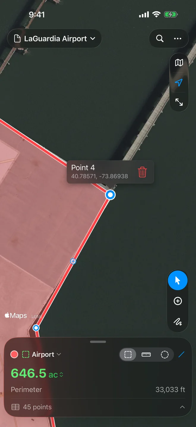
Imagery is a photograph. Apple’s satellite imagery can sit a few meters off true coordinates in places, and trees, roof overhangs and leaning buildings can hide or shift a boundary. Where it matters, check a corner against a known coordinate. Measure in a flat style; the 3D styles tilt terrain and buildings.
Long edges. Each edge is measured along the shortest path on the earth but drawn straight on the flat map. Over hundreds of kilometers the two part, and the number describes the edge on the earth; add points along a border you want followed.
GPS. Add My Location, Walk the Boundary and Track My Position are as good as your device’s location: a few meters under open sky, worse near buildings and under trees. Walking the boundary leaves out the positions it cannot trust (stale or inaccurate ones, a jump out and back, the wander of a phone standing still), and Track My Position takes only positions of 15 m or better. Walk at a steady pace, keep to the edge, and check the accuracy in the bar before you start.